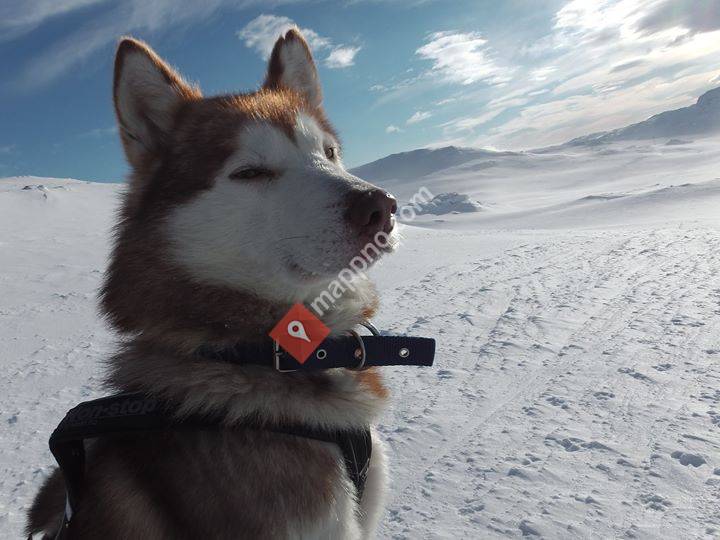
Hallingskarvet National Park is a national park in central Norway that was established by the government on 22 December 2006. The park is located in the municipalities of Hol, Ulvik, and Aurland . More precisely, the park comprises the Hallingskarv plateau and the high mountain areas to the west of it. It includes the Vargebreen glacier as well as the valleys of Såtedalen, Lengjedalen, Ynglesdalen, and parts of Raggsteindalen.The national park covers of the Hallingskarvet mountain range and hosts large stocks of wild reindeer, an important factor in the establishment of the park. The highest point in the national park is Folarskardnuten which reaches an elevation of above sea level.The landscape of Hallingskarvet was shaped by multiple ice ages. The park shows the geological history and the connection between this history and the variation in the species living there. It includes areas of special value and which are home to threatened or vulnerable species such as Draba cacuminum and Botrychium lanceolatum .
 Parc national de Hallingskarvet
0 meter
Lett tilgjengelig fjelltopp, flott utsikt, mangler litt på "toppfølelsen".... Hallingskarvet nationalpark
0 meter
Hallingskarvet. Noen år siden vi var der, men framdeles levende i minnet. Hallingskarvet-Nationalpark
0 meter
Der Hallingskarvet-Nationalpark ist ein südnorwegischer Nationalpark, welcher das Hal... Parco nazionale Hallingskarvet
0 meter
Lett tilgjengelig fjelltopp, flott utsikt, mangler litt på "toppfølelsen"....
Parc national de Hallingskarvet
0 meter
Lett tilgjengelig fjelltopp, flott utsikt, mangler litt på "toppfølelsen".... Hallingskarvet nationalpark
0 meter
Hallingskarvet. Noen år siden vi var der, men framdeles levende i minnet. Hallingskarvet-Nationalpark
0 meter
Der Hallingskarvet-Nationalpark ist ein südnorwegischer Nationalpark, welcher das Hal... Parco nazionale Hallingskarvet
0 meter
Lett tilgjengelig fjelltopp, flott utsikt, mangler litt på "toppfølelsen"....Legg til dette kortet på nettstedet ditt;
Vi bruker informasjonskapsler og annen sporingsteknologi for å forbedre din nettleseropplevelse på nettstedet vårt, for å vise deg personlig innhold og målrettede annonser, for å analysere nettstrafikken vår og for å forstå hvor våre besøkende kommer fra. Personvernregler